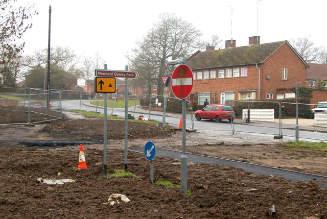
File:Defunct road signs 'marooned' - Geograph - 1678567.jpg
Jump to navigation
Jump to search

No higher resolution available.
Defunct_road_signs_'marooned'_-_Geograph_-_1678567.jpg (640 × 429 pixels, file size: 90 KB, MIME type: image/jpeg)
| |||||||||||||||||||||||||
|
Galleries | B4112 | Rugby | Regulatory Sign | Rugby Western Relief Road | ||
File history
Click on a date/time to view the file as it appeared at that time.
| Date/Time | Thumbnail | Dimensions | User | Comment | |
|---|---|---|---|---|---|
| current | 13:01, 29 January 2010 | | 640 × 429 (90 KB) | Jeni (talk | contribs) | {{Information |description = Defunct road signs 'marooned' |day = 18 |month = 01 |year = 2010 |photographer = © Copyright [http://www.geograph.org.uk/profile/32299 Andy F] and licensed for reuse under [http://creativecommons.org/ |
File usage
The following 3 pages use this file: