File:Derwent Bridge (C) M J Richardson - Geograph - 2368903.jpg
Jump to navigation
Jump to search

No higher resolution available.
Derwent_Bridge_(C)_M_J_Richardson_-_Geograph_-_2368903.jpg (640 × 480 pixels, file size: 105 KB, MIME type: image/jpeg)
| |||||||||||||||||||||||||
|
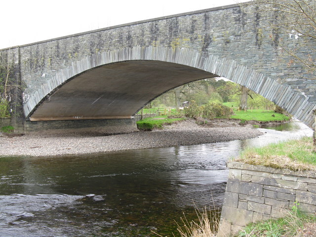
Galleries | B5289 | Derwent Bridge (Keswick) | Keswick | ||
File history
Click on a date/time to view the file as it appeared at that time.
| Date/Time | Thumbnail | Dimensions | User | Comment | |
|---|---|---|---|---|---|
| current | 15:31, 31 October 2014 | | 640 × 480 (105 KB) | Jeni (talk | contribs) | '''Derwent Bridge (C) M J Richardson '''<br/>Carrying the original main road west from Keswick, now the B5289, and now replaced by a new bridge just to the north taking the A66 west to Cockermouth. |
File usage
The following 3 pages use this file:
_M_J_Richardson_-_Geograph_-_2368903.jpg&oldid=390060)