File:Derwent Bridges - Geograph - 238923.jpg
Jump to navigation
Jump to search

No higher resolution available.
Derwent_Bridges_-_Geograph_-_238923.jpg (640 × 480 pixels, file size: 100 KB, MIME type: image/jpeg)
| |||||||||||||||||||||||||
|
Galleries | B6521 | A6011 (Derbyshire) | Single track road | Traffic Signals | Grindleford Bridge | ||
File history
Click on a date/time to view the file as it appeared at that time.
| Date/Time | Thumbnail | Dimensions | User | Comment | |
|---|---|---|---|---|---|
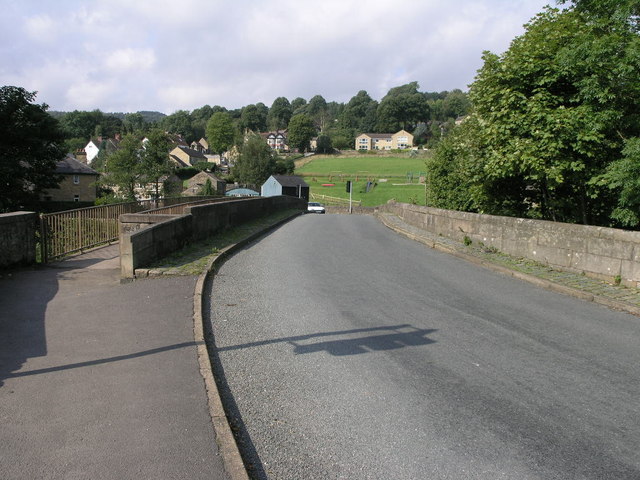
| current | 17:46, 3 July 2010 | | 640 × 480 (100 KB) | Bob@romiley1 (talk | contribs) | '''Derwent Bridges'''<br/>Both the footbridge and the road bridge carry traffic over the River Derwent in Grindleford. |
File usage
The following 5 pages use this file: