File:Devons Road Station (C) Peter Thwaite - Geograph - 976546.jpg
Jump to navigation
Jump to search

No higher resolution available.
Devons_Road_Station_(C)_Peter_Thwaite_-_Geograph_-_976546.jpg (640 × 480 pixels, file size: 98 KB, MIME type: image/jpeg)
| |||||||||||||||||||||||||
|
Galleries | B140 | ||
File history
Click on a date/time to view the file as it appeared at that time.
| Date/Time | Thumbnail | Dimensions | User | Comment | |
|---|---|---|---|---|---|
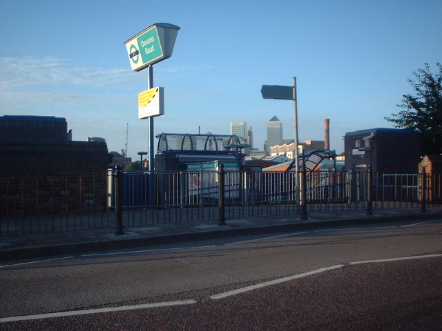
| current | 20:24, 9 December 2014 | | 640 × 480 (98 KB) | Vlad (talk | contribs) | '''Devons Road Station (C) Peter Thwaite '''<br/>Devons Road Station on the Docklands Light Railway. A mile to the south are the principal towers at Canary Wharf. |
File usage
The following 2 pages use this file:
_Peter_Thwaite_-_Geograph_-_976546.jpg&oldid=392196)