File:Direction sign in Langley Green, Sandwell - Coppermine - 22354.JPG
Jump to navigation
Jump to search

Size of this preview: 800 × 600 pixels. Other resolution: 1,600 × 1,200 pixels.
Original file (1,600 × 1,200 pixels, file size: 186 KB, MIME type: image/jpeg)
| |||||||||||||||||||||||||
|
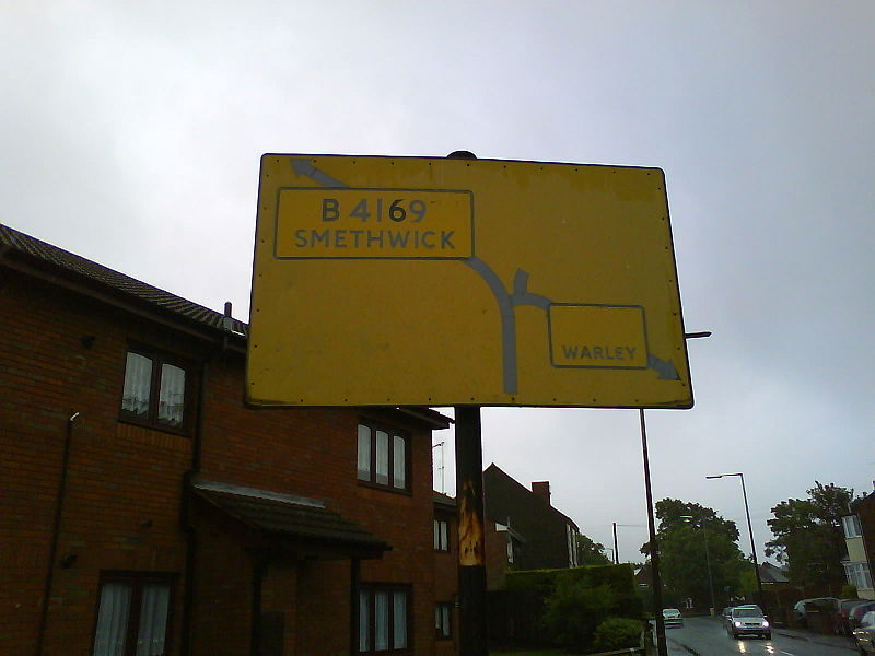
Galleries | B4169 | Unclassified | Pre-Worboys Direction Signs | ||
File history
Click on a date/time to view the file as it appeared at that time.
| Date/Time | Thumbnail | Dimensions | User | Comment | |
|---|---|---|---|---|---|
| current | 13:10, 25 June 2010 | | 1,600 × 1,200 (186 KB) | Bob@romiley1 (talk | contribs) | '''Direction sign in Langley Green, Sandwell''' at http://www.streetmap.co.uk/map.srf?x=399650&y=287926&z=115&sv=399650,287926&st=4&ar=y&mapp=map.srf&searchp=ids.srf&dn=718&ax=399650&ay=287926&lm=0, facing west. <small>''Originally uploaded to Coppermin |
File usage
The following 2 pages use this file: