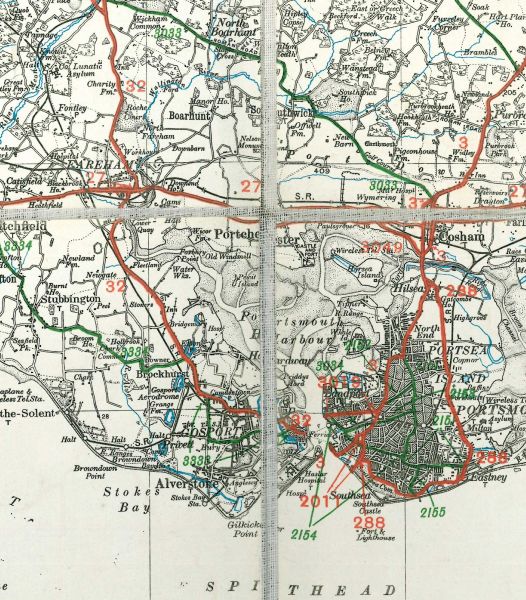
Example of a dissected MoT map showing the individual sections and the cloth backing between. This example is a copy of the 1926-27 edition of Sheet 38.
Location:
This picture currently has no coords, edit this page to add them.
Example of a dissected MoT map showing the individual sections and the cloth backing between. This example is a copy of the 1926-27 edition of Sheet 38.
