File:Distances from Huntley - Geograph - 3795514.jpg
Jump to navigation
Jump to search

No higher resolution available.
Distances_from_Huntley_-_Geograph_-_3795514.jpg (640 × 429 pixels, file size: 89 KB, MIME type: image/jpeg)
| |||||||||||||||||||||||||
|
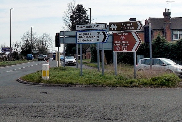
Galleries | A40 | A4136 | Flag Sign | Forest Gate Junction | Bollard | ||
File history
Click on a date/time to view the file as it appeared at that time.
| Date/Time | Thumbnail | Dimensions | User | Comment | |
|---|---|---|---|---|---|
| current | 08:21, 10 July 2016 | | 640 × 429 (89 KB) | C2r (talk | contribs) | '''Distances from Huntley''' Viewed from the A40 in Huntley, a small village in Gloucestershire. The sign pointing right towards Monmouth along the A4136 shows 2?? (miles) to Longhope, 4 to Mitcheldean and 8 to Cinderford. |
File usage
The following 2 pages use this file: