File:Disused A422 looking west (C) mick finn - Geograph - 995708.jpg
Jump to navigation
Jump to search

No higher resolution available.
Disused_A422_looking_west_(C)_mick_finn_-_Geograph_-_995708.jpg (640 × 439 pixels, file size: 99 KB, MIME type: image/jpeg)
| |||||||||||||||||||||||||
|
Galleries | A422 | Buckingham | ||
File history
Click on a date/time to view the file as it appeared at that time.
| Date/Time | Thumbnail | Dimensions | User | Comment | |
|---|---|---|---|---|---|
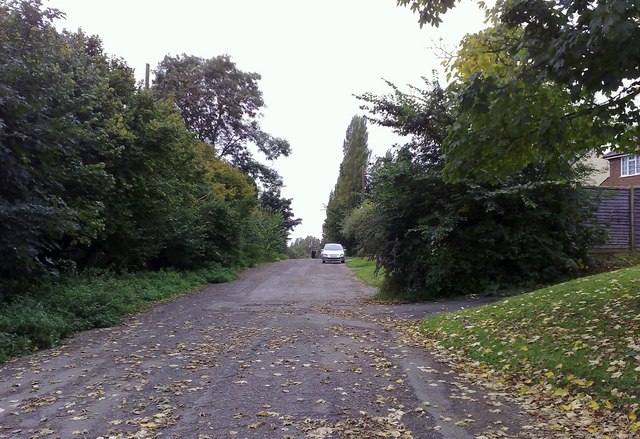
| current | 15:17, 20 November 2013 | | 640 × 439 (99 KB) | Si404 (talk | contribs) | '''Disused A422 looking west (C) mick finn '''<br/>Looking west towards Buckingham along the line of a disused section of the A422, Stratford Rd, diverted some 30 years ago. The hedgerow to the left formed the boundary of the fields and meadows which a... |
File usage
There are no pages that use this file.
_mick_finn_-_Geograph_-_995708.jpg&oldid=359286)