File:Dornie Bridge - Geograph - 8335.jpg
Jump to navigation
Jump to search

No higher resolution available.
Dornie_Bridge_-_Geograph_-_8335.jpg (640 × 338 pixels, file size: 148 KB, MIME type: image/jpeg)
| |||||||||||||||||||||||||
|
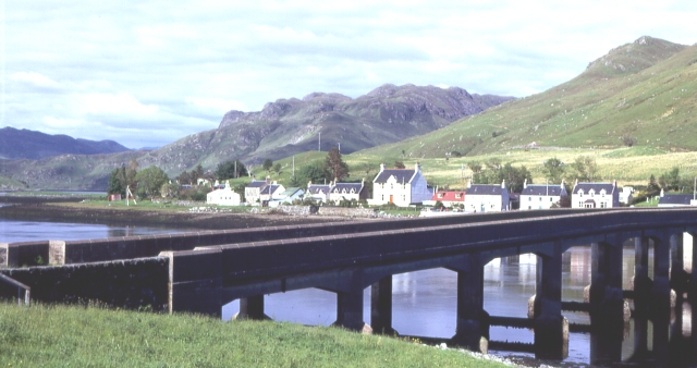
Galleries | A87 | Dornie Bridge | ||
File history
Click on a date/time to view the file as it appeared at that time.
| Date/Time | Thumbnail | Dimensions | User | Comment | |
|---|---|---|---|---|---|
| current | 08:41, 27 August 2010 | | 640 × 338 (148 KB) | Rileyrob (talk | contribs) | '''Dornie Bridge'''<br/>This bridge replaced the former ferry, one of three which were the only ways of reaching Lochalsh. |
File usage
The following page uses this file: