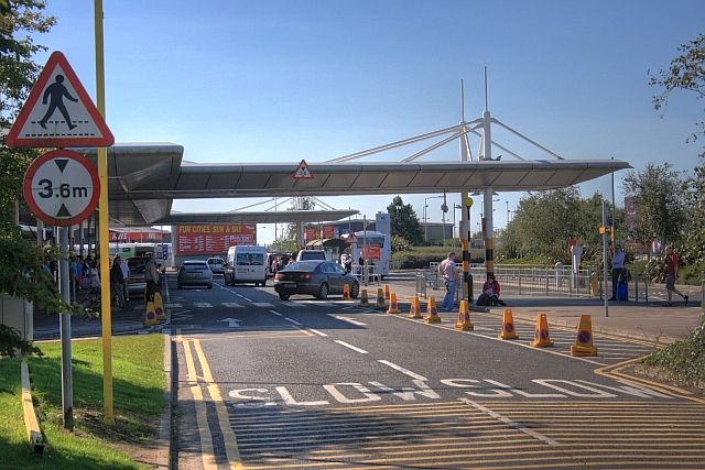
File:Dropping Off Zone, Belfast Int'l Airport - Geograph - 1487951.jpg
Jump to navigation
Jump to search

No higher resolution available.
Dropping_Off_Zone,_Belfast_Int'l_Airport_-_Geograph_-_1487951.jpg (640 × 427 pixels, file size: 65 KB, MIME type: image/jpeg)
| |||||||||||||||||||||||||
|
Galleries | Belfast International Airport | Warning Sign | ||
File history
Click on a date/time to view the file as it appeared at that time.
| Date/Time | Thumbnail | Dimensions | User | Comment | |
|---|---|---|---|---|---|
| current | 22:24, 10 May 2013 | | 640 × 427 (65 KB) | Si404 (talk | contribs) | Dropping Off Zone, Belfast International Airport |
File usage
The following page uses this file: