File:Dry Arch Roundabout,Letterkenny - Geograph - 910747.jpg
Jump to navigation
Jump to search

No higher resolution available.
Dry_Arch_Roundabout,Letterkenny_-_Geograph_-_910747.jpg (640 × 481 pixels, file size: 62 KB, MIME type: image/jpeg)
| |||||||||||||||||||||||||
|
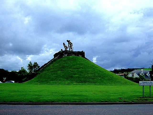
Galleries | N13 | N56 | Wild Atlantic Way | Dry Arch Roundabout | Letterkenny | ||
File history
Click on a date/time to view the file as it appeared at that time.
| Date/Time | Thumbnail | Dimensions | User | Comment | |
|---|---|---|---|---|---|
| current | 15:27, 19 April 2012 | | 640 × 481 (62 KB) | Ritchie333 (talk | contribs) | Dry Arch Roundabout,Letterkenny |
File usage
The following 7 pages use this file: