File:Dual Carriageway A78 - Geograph - 1465122.jpg
Jump to navigation
Jump to search

No higher resolution available.
Dual_Carriageway_A78_-_Geograph_-_1465122.jpg (640 × 480 pixels, file size: 83 KB, MIME type: image/jpeg)
| |||||||||||||||||||||||||
|
Galleries | A78 | Eglinton Interchange | ||
File history
Click on a date/time to view the file as it appeared at that time.
| Date/Time | Thumbnail | Dimensions | User | Comment | |
|---|---|---|---|---|---|
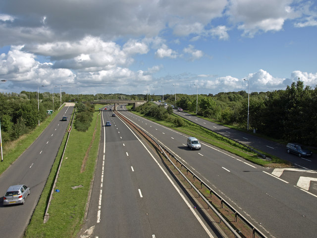
| current | 21:53, 26 November 2010 | | 640 × 480 (83 KB) | Abeaton (talk | contribs) | '''Dual Carriageway A78'''<br/>Viewed from the B737 bridge crossing the Ardrossan/Ayr Irvine bypass. The slip roads at either side join/leave Eglinton Interchange. |
File usage
The following 2 pages use this file: