 | |  |
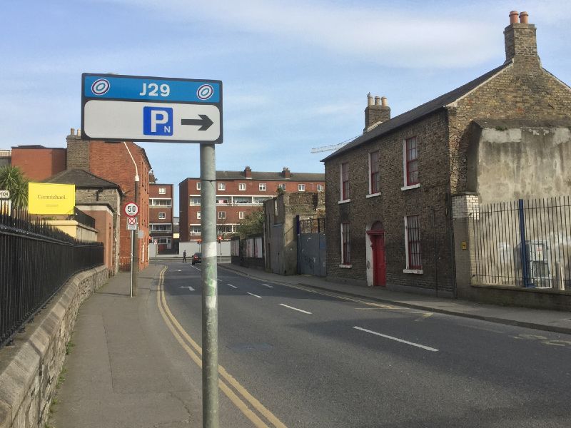
| | Description: | The sign for J29 of the Dublin Inner Orbital, on Brunswick Street North. | | Location: | 53.350768, -6.275034 | | Road: | | | Date: | 23 03 2020 | | Photographer: | Johnathan404 | | Source: | Own work |
|
|
| |
 | |  |
File history
Click on a date/time to view the file as it appeared at that time.
| Date/Time | Thumbnail | Dimensions | User | Comment |
|---|
| current | 18:32, 26 March 2020 |  | 2,000 × 1,500 (944 KB) | Johnathan404 (talk | contribs) | The sign for J29 of the Dublin Inner Orbital, on Brunswick Street North. |
File usage
The following page uses this file:
This file contains additional information, probably added from the digital camera or scanner used to create or digitise it.
If the file has been modified from its original state, some details may not fully reflect the modified file.
