 | |  |
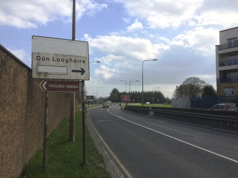
| | Description: | An old sign on Toll Bridge Road. It is probably hiding the ferry symbol, and maybe a translation of Dún Laoghaire? | | Location: | 53.342282, -6.214159 | | Road: | R131, N11 | | Date: | 25 03 2020 | | Photographer: | Johnathan404 | | Source: | Own work |
|
|
| |
 | |  |
File history
Click on a date/time to view the file as it appeared at that time.
| Date/Time | Thumbnail | Dimensions | User | Comment |
|---|
| current | 22:47, 3 April 2020 |  | 2,000 × 1,500 (828 KB) | Johnathan404 (talk | contribs) | An old sign on Toll Bridge Road. It is probably hiding the ferry symbol, and maybe a translation of Dún Laoghaire? |
File usage
The following page uses this file:
This file contains additional information, probably added from the digital camera or scanner used to create or digitise it.
If the file has been modified from its original state, some details may not fully reflect the modified file.
