File:Dunkenhalgh Way, Accrington (C) Bill Boaden - Geograph - 3368583.jpg
Jump to navigation
Jump to search

No higher resolution available.
Dunkenhalgh_Way,_Accrington_(C)_Bill_Boaden_-_Geograph_-_3368583.jpg (640 × 428 pixels, file size: 63 KB, MIME type: image/jpeg)
| |||||||||||||||||||||||||
|
Galleries | A6185 | ||
File history
Click on a date/time to view the file as it appeared at that time.
| Date/Time | Thumbnail | Dimensions | User | Comment | |
|---|---|---|---|---|---|
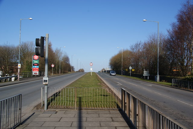
| current | 22:38, 4 November 2013 | | 640 × 428 (63 KB) | Vlad (talk | contribs) | '''Dunkenhalgh Way, Accrington (C) Bill Boaden '''<br/>The A6185, also known as Hyndburn Road, which is the main link between Accrington and the M65. |
File usage
The following page uses this file:
_Bill_Boaden_-_Geograph_-_3368583.jpg&oldid=357888)