File:Durweston Bridge - Geograph - 371889.jpg
Jump to navigation
Jump to search

No higher resolution available.
Durweston_Bridge_-_Geograph_-_371889.jpg (640 × 480 pixels, file size: 105 KB, MIME type: image/jpeg)
| |||||||||||||||||||||||||
|
Galleries | A357 | Durweston Bridge | Pictures from Geograph | ||
File history
Click on a date/time to view the file as it appeared at that time.
| Date/Time | Thumbnail | Dimensions | User | Comment | |
|---|---|---|---|---|---|
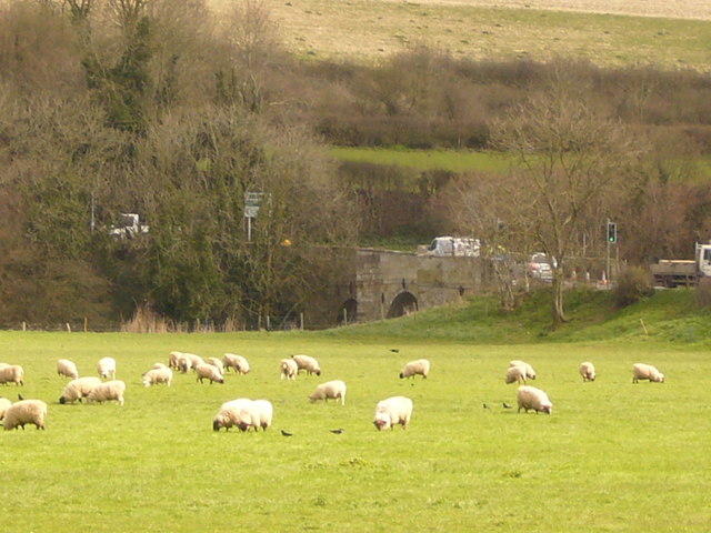
| current | 16:52, 10 May 2010 | | 640 × 480 (105 KB) | Bob@romiley1 (talk | contribs) | '''Durweston Bridge'''<br/>Durweston Bridge over the River Stour.<br /> A narrow bridge controlled by traffic light.<br /> The sheep tolerate crows in their pasture |
File usage
The following 2 pages use this file: