File:Dusk on the N21, County Kerry - Geograph - 1846700.jpg
Jump to navigation
Jump to search

No higher resolution available.
Dusk_on_the_N21,_County_Kerry_-_Geograph_-_1846700.jpg (640 × 419 pixels, file size: 44 KB, MIME type: image/jpeg)
| |||||||||||||||||||||||||
|
Galleries | N21 | Tralee | Route Confirmation Sign | Warning Sign | ||
File history
Click on a date/time to view the file as it appeared at that time.
| Date/Time | Thumbnail | Dimensions | User | Comment | |
|---|---|---|---|---|---|
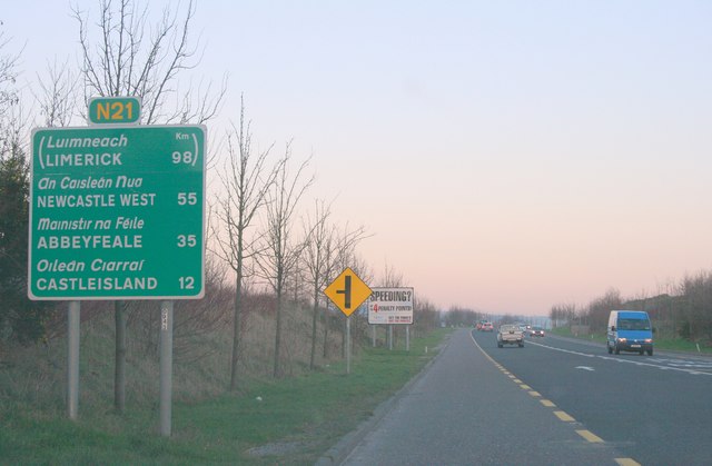
| current | 19:04, 11 February 2011 | | 640 × 419 (44 KB) | Si404 (talk | contribs) | '''Dusk on the N21, County Kerry'''<br/>Outside Tralee. |
File usage
The following 3 pages use this file: