File:Dyche lane towards the outskirts of Sheffield - Geograph - 2426341.jpg
Jump to navigation
Jump to search

No higher resolution available.
Dyche_lane_towards_the_outskirts_of_Sheffield_-_Geograph_-_2426341.jpg (640 × 480 pixels, file size: 99 KB, MIME type: image/jpeg)
| |||||||||||||||||||||||||
|
Galleries | B6158 | B6057 (Dronfield) | ||
File history
Click on a date/time to view the file as it appeared at that time.
| Date/Time | Thumbnail | Dimensions | User | Comment | |
|---|---|---|---|---|---|
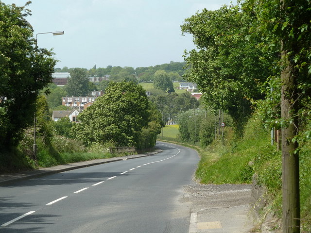
| current | 19:36, 6 August 2016 | | 640 × 480 (99 KB) | Vlad (talk | contribs) | '''Dyche lane towards the outskirts of Sheffield''' Looking along the road from Coal Aston, just by the track turn for Ockley Farm at the edge of the square. |
File usage
The following 4 pages use this file: