File:Dyke Road - Geograph - 3313486.jpg
Jump to navigation
Jump to search

No higher resolution available.
Dyke_Road_-_Geograph_-_3313486.jpg (640 × 480 pixels, file size: 82 KB, MIME type: image/jpeg)
| |||||||||||||||||||||||||
|
Galleries | C56 (Brighton and Hove) | ||
File history
Click on a date/time to view the file as it appeared at that time.
| Date/Time | Thumbnail | Dimensions | User | Comment | |
|---|---|---|---|---|---|
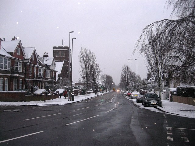
| current | 02:36, 9 May 2019 | | 640 × 480 (82 KB) | Jervi (talk | contribs) | '''Dyke Road''' One of the main arterial roads in and out of the city that starts at North Street in the centre of town then becomes Dyke Road Avenue before heading off to a junction with the A27. For many years the old boundary between Brighton and Ho... |
File usage
The following page uses this file: