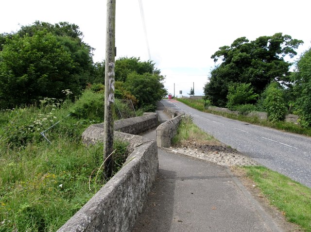
File:Eight Mile Bridge on the eastern outskirts of Hilltown - Geograph - 4085923.jpg
Jump to navigation
Jump to search

No higher resolution available.
Eight_Mile_Bridge_on_the_eastern_outskirts_of_Hilltown_-_Geograph_-_4085923.jpg (640 × 478 pixels, file size: 99 KB, MIME type: image/jpeg)
| |||||||||||||||||||||||||
|
Galleries | B8 (Northern Ireland) | Eight Mile Bridge | Pictures from Geograph | ||
File history
Click on a date/time to view the file as it appeared at that time.
| Date/Time | Thumbnail | Dimensions | User | Comment | |
|---|---|---|---|---|---|
| current | 21:14, 18 September 2021 | | 640 × 478 (99 KB) | C2r (talk | contribs) | '''Eight Mile Bridge on the eastern outskirts of Hilltown''' This bridge carries the B8 (Newry-Kilcoo road) over the River Bann. |
File usage
The following 3 pages use this file: