File:Elevated road and railway, Belfast (2) - Geograph - 564453.jpg
Jump to navigation
Jump to search

No higher resolution available.
Elevated_road_and_railway,_Belfast_(2)_-_Geograph_-_564453.jpg (640 × 426 pixels, file size: 81 KB, MIME type: image/jpeg)
| |||||||||||||||||||||||||
|
Galleries | M3 (Northern Ireland) | T7 (Northern Ireland) | Belfast | ||
File history
Click on a date/time to view the file as it appeared at that time.
| Date/Time | Thumbnail | Dimensions | User | Comment | |
|---|---|---|---|---|---|
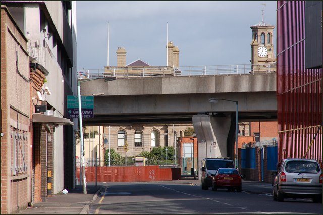
| current | 13:11, 4 May 2010 | | 640 × 426 (81 KB) | Si404 (talk | contribs) | '''Elevated road and railway, Belfast (2)'''<br/>See <a href="http://www.geograph.org.uk/photo/495849">J3474 : Elevated railway and road, Belfast</a>. This is a view of the bridges as they pass Tomb Street. The railway is nearest the camera. The Harbou |
File usage
The following page uses this file:
_-_Geograph_-_564453.jpg&oldid=338675)