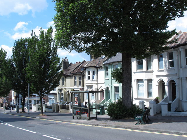
File:Elm Grove, BN2 - Geograph - 4148920.jpg
Jump to navigation
Jump to search

No higher resolution available.
Elm_Grove,_BN2_-_Geograph_-_4148920.jpg (640 × 480 pixels, file size: 107 KB, MIME type: image/jpeg)
| |||||||||||||||||||||||||
|
Galleries | C5380 (Brighton and Hove) | ||
File history
Click on a date/time to view the file as it appeared at that time.
| Date/Time | Thumbnail | Dimensions | User | Comment | |
|---|---|---|---|---|---|
| current | 13:20, 9 May 2019 | | 640 × 480 (107 KB) | Jervi (talk | contribs) | '''Elm Grove, BN2''' |
File usage
The following page uses this file: