File:Eltham Bypass east end - Geograph - 4032947.jpg
Jump to navigation
Jump to search

No higher resolution available.
Eltham_Bypass_east_end_-_Geograph_-_4032947.jpg (640 × 503 pixels, file size: 81 KB, MIME type: image/jpeg)
| |||||||||||||||||||||||||
|
Galleries | A20 | Kemnal Corner | Pictures from Geograph | ||
File history
Click on a date/time to view the file as it appeared at that time.
| Date/Time | Thumbnail | Dimensions | User | Comment | |
|---|---|---|---|---|---|
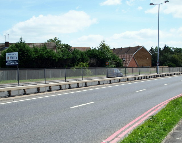
| current | 16:23, 8 April 2021 | | 640 × 503 (81 KB) | Ross spur (talk | contribs) | East end of A20 Eltham Bypass, just to the west of the former junction at Kemnal Corner. The residential housing in Aldwick Close, New Eltham provides a backdrop |
File usage
The following 2 pages use this file: