File:End of the M 62 - Geograph - 1538999.jpg
Jump to navigation
Jump to search

No higher resolution available.
End_of_the_M_62_-_Geograph_-_1538999.jpg (640 × 414 pixels, file size: 45 KB, MIME type: image/jpeg)
| |||||||||||||||||||||||||
|
Galleries | M62 | A5080 (Liverpool - Warrington) | Liverpool | The Rocket | Chopsticks | Speed limit sign/40 mph | ||
File history
Click on a date/time to view the file as it appeared at that time.
| Date/Time | Thumbnail | Dimensions | User | Comment | |
|---|---|---|---|---|---|
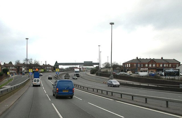
| current | 15:35, 10 June 2016 | | 640 × 414 (45 KB) | C2r (talk | contribs) | '''End of the M 62''' End of the M 62 at Broadgreen |
File usage
The following 4 pages use this file: