File:Entering Buckingham (C) John Firth - Geograph - 2742996.jpg
Jump to navigation
Jump to search

No higher resolution available.
Entering_Buckingham_(C)_John_Firth_-_Geograph_-_2742996.jpg (640 × 446 pixels, file size: 44 KB, MIME type: image/jpeg)
| |||||||||||||||||||||||||
|
Galleries | A421 | Buckingham | ||
File history
Click on a date/time to view the file as it appeared at that time.
| Date/Time | Thumbnail | Dimensions | User | Comment | |
|---|---|---|---|---|---|
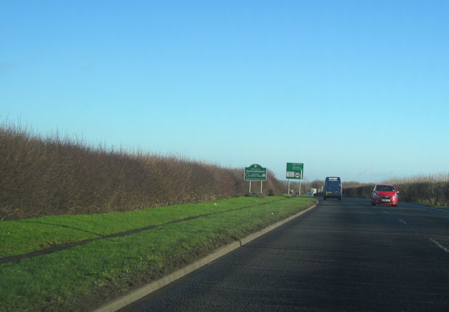
| current | 15:17, 20 November 2013 | | 640 × 446 (44 KB) | Si404 (talk | contribs) | '''Entering Buckingham (C) John Firth '''<br/>Just west of the Tingewick Road industrial estate turn off from A421 |
File usage
There are no pages that use this file.
_John_Firth_-_Geograph_-_2742996.jpg&oldid=359287)