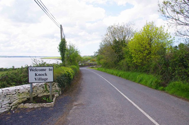
File:Entering Knock Village on the R486 - Geograph - 3550760.jpg
Jump to navigation
Jump to search

No higher resolution available.
Entering_Knock_Village_on_the_R486_-_Geograph_-_3550760.jpg (640 × 424 pixels, file size: 76 KB, MIME type: image/jpeg)
| |||||||||||||||||||||||||
|
Galleries | R486 | ||
File history
Click on a date/time to view the file as it appeared at that time.
| Date/Time | Thumbnail | Dimensions | User | Comment | |
|---|---|---|---|---|---|
| current | 16:38, 28 October 2013 | | 640 × 424 (76 KB) | Viator (talk | contribs) | Entering the village of Knock from the direction of Kilmore |
File usage
The following 2 pages use this file: