File:Entering Linlithgow Bridge - Geograph - 1781571.jpg
Jump to navigation
Jump to search

No higher resolution available.
Entering_Linlithgow_Bridge_-_Geograph_-_1781571.jpg (640 × 480 pixels, file size: 89 KB, MIME type: image/jpeg)
| |||||||||||||||||||||||||
|
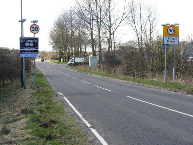
Galleries | b8029 | Information Sign | Speed limit sign/30 mph | S2 | ||
File history
Click on a date/time to view the file as it appeared at that time.
| Date/Time | Thumbnail | Dimensions | User | Comment | |
|---|---|---|---|---|---|
| current | 12:30, 21 April 2010 | | 640 × 480 (89 KB) | Bob@romiley1 (talk | contribs) | '''Entering Linlithgow Bridge'''<br/>From the north on the B8029, with the entrance to the Mill Road Industrial Estate on the right. |
File usage
The following 2 pages use this file: