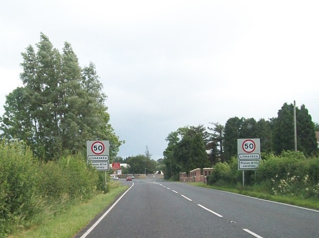
File:Entering Lisnaskea from the north along the A34 - Geograph - 3088159.jpg
Jump to navigation
Jump to search

No higher resolution available.
Entering_Lisnaskea_from_the_north_along_the_A34_-_Geograph_-_3088159.jpg (640 × 479 pixels, file size: 59 KB, MIME type: image/jpeg)
| |||||||||||||||||||||||||
|
Galleries | A34 (Northern Ireland) | A39 (Northern Ireland) | ||
File history
Click on a date/time to view the file as it appeared at that time.
| Date/Time | Thumbnail | Dimensions | User | Comment | |
|---|---|---|---|---|---|
| current | 22:37, 10 May 2013 | | 640 × 479 (59 KB) | Si404 (talk | contribs) | Entering Lisnaskea from the north along the A34 |
File usage
The following 2 pages use this file: