File:Entering Watford - town sign and speed limit - Geograph - 131625.jpg
Jump to navigation
Jump to search

No higher resolution available.
Entering_Watford_-_town_sign_and_speed_limit_-_Geograph_-_131625.jpg (640 × 480 pixels, file size: 299 KB, MIME type: image/jpeg)
| |||||||||||||||||||||||||
File history
Click on a date/time to view the file as it appeared at that time.
| Date/Time | Thumbnail | Dimensions | User | Comment | |
|---|---|---|---|---|---|
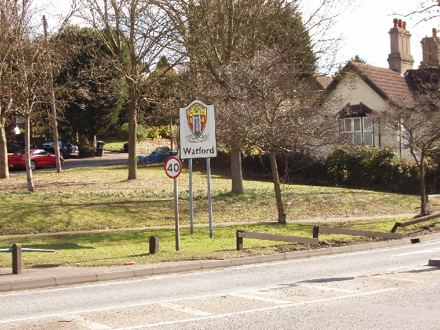
| current | 11:27, 8 April 2010 | | 640 × 480 (299 KB) | Sabristo simon (talk | contribs) | '''Entering Watford - town sign and speed limit'''<br/>On Hempstead Road, just south of Hunton Bridge Interchange on the A411. View east to Russell Lane. The sign with coat of arms of Watford is just inside the boundary of Watford, which runs acro |