File:Entrance to Kerry Airport - Geograph - 4683386.jpg
Jump to navigation
Jump to search

No higher resolution available.
Entrance_to_Kerry_Airport_-_Geograph_-_4683386.jpg (640 × 427 pixels, file size: 49 KB, MIME type: image/jpeg)
| |||||||||||||||||||||||||
|
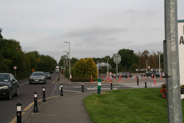
Galleries | N23 | Single Carriageway | County Kerry | ||
File history
Click on a date/time to view the file as it appeared at that time.
| Date/Time | Thumbnail | Dimensions | User | Comment | |
|---|---|---|---|---|---|
| current | 14:31, 30 July 2016 | | 640 × 427 (49 KB) | A39 chris (talk | contribs) | '''Entrance to Kerry Airport''' |
File usage
The following 5 pages use this file: