File:Entrance to Ramsey Mereside, Cambs - Geograph - 153232.jpg
Jump to navigation
Jump to search

No higher resolution available.
Entrance_to_Ramsey_Mereside,_Cambs_-_Geograph_-_153232.jpg (640 × 480 pixels, file size: 241 KB, MIME type: image/jpeg)
| |||||||||||||||||||||||||
|
Galleries | C86 (Cambridgeshire) | Cambridgeshire | Huntingdonshire | S2 | Speed limit sign/30 mph | ||
File history
Click on a date/time to view the file as it appeared at that time.
| Date/Time | Thumbnail | Dimensions | User | Comment | |
|---|---|---|---|---|---|
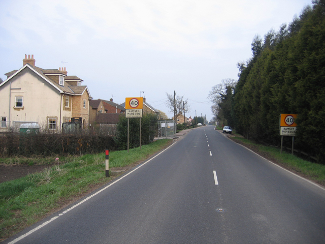
| current | 18:49, 24 February 2018 | | 640 × 480 (241 KB) | C2r (talk | contribs) | '''Entrance to Ramsey Mereside, Cambs''' view SE along Oilmill's Road. |
File usage
The following 3 pages use this file: