File:Escape lane, A259 (C) N Chadwick - Geograph - 2378316.jpg
Jump to navigation
Jump to search

No higher resolution available.
Escape_lane,_A259_(C)_N_Chadwick_-_Geograph_-_2378316.jpg (640 × 430 pixels, file size: 63 KB, MIME type: image/jpeg)
| |||||||||||||||||||||||||
|
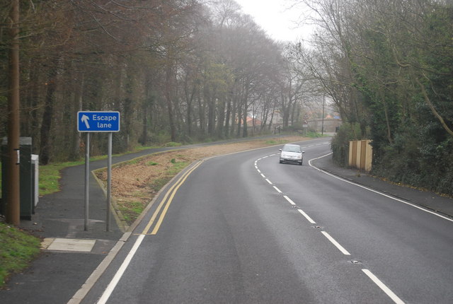
Galleries | A259 | Escape lane | ||
File history
Click on a date/time to view the file as it appeared at that time.
| Date/Time | Thumbnail | Dimensions | User | Comment | |
|---|---|---|---|---|---|
| current | 17:02, 31 August 2014 | | 640 × 430 (63 KB) | Glen (talk | contribs) | '''Escape lane, A259 (C) N Chadwick '''<br/> The A259 is a busy route along the south coast of England. It runs from Emsworth in Hampshire to Folkestone in Kent, via west and East Sussex.<br /> |
File usage
There are no pages that use this file.
_N_Chadwick_-_Geograph_-_2378316.jpg&oldid=384853)