File:Fairplace Bridge, Burgess Hill - Geograph - 4424244.jpg

From Roader's Digest: The SABRE Wiki
Jump to navigation Jump to search

Fairplace_Bridge,_Burgess_Hill_-_Geograph_-_4424244.jpg(640 × 480 pixels, file size: 72 KB, MIME type: image/jpeg)

Y topleft.gifY topright.gif
Description:
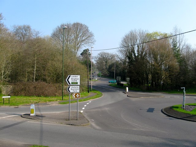
Fairplace Bridge, Burgess Hill Marking the northern end of Burgess Hill where the A273 crosses over the River Adur. It was located between the two roundabouts, the one in the foreground containing the junction for the A273 and B2036 and the one beyond the bridge is where Isaac's Lane, the A273, heads north east to Haywards Heath and Cuckfield Road, the B2036, heads north west to Ansty and Cuckfield.
Location:50.967838, -0.139874
Road:A273, B2036
Date:09 04 2015
Photographer:(c) Copyright Simon Carey and licensed for reuse under this Creative Commons Licence
Source:Geograph

Map

Y btmleft.gifY btmright.gif

Galleries  | A273 | B2036 | Burgess Hill | Fairplace Hill Roundabouts

File history

Click on a date/time to view the file as it appeared at that time.

Date/TimeThumbnailDimensionsUserComment
current18:13, 9 February 2019Thumbnail for version as of 18:13, 9 February 2019640 × 480 (72 KB)Jervi (talk | contribs)'''Fairplace Bridge, Burgess Hill''' Marking the northern end of Burgess Hill where the A273 crosses over the River Adur. It was located between the two roundabouts, the one in the foreground containing the junction for the A273 and B2036 and the one b...

SABRE - The Society for All British and Irish Road Enthusiasts
Discuss - Digest - Discover - Help