File:Fallings Park, Third Avenue - Geograph - 3538371.jpg
Jump to navigation
Jump to search

No higher resolution available.
Fallings_Park,_Third_Avenue_-_Geograph_-_3538371.jpg (640 × 480 pixels, file size: 66 KB, MIME type: image/jpeg)
| |||||||||||||||||||||||||
|
Galleries | U120 (Wolverhampton) | Wolverhampton | ||
File history
Click on a date/time to view the file as it appeared at that time.
| Date/Time | Thumbnail | Dimensions | User | Comment | |
|---|---|---|---|---|---|
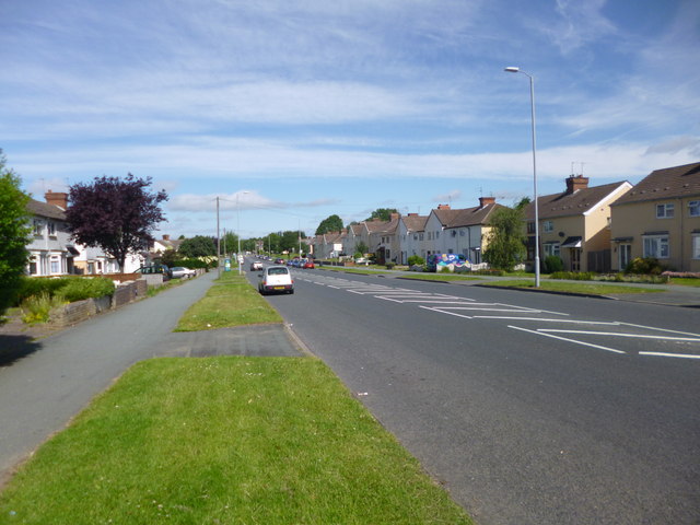
| current | 13:33, 15 October 2016 | | 640 × 480 (66 KB) | Steven (talk | contribs) | '''Fallings Park, U120 Third Avenue''' Several local roads are named after ordinal numbers. |
File usage
The following page uses this file: