File:Farmland southwest of the A50 - Geograph - 1869856.jpg
Jump to navigation
Jump to search

No higher resolution available.
Farmland_southwest_of_the_A50_-_Geograph_-_1869856.jpg (640 × 480 pixels, file size: 58 KB, MIME type: image/jpeg)
| |||||||||||||||||||||||||
|
Galleries | A50 (Northern Ireland) | Newcastle (County Down) | County Down | ||
File history
Click on a date/time to view the file as it appeared at that time.
| Date/Time | Thumbnail | Dimensions | User | Comment | |
|---|---|---|---|---|---|
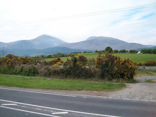
| current | 10:13, 20 March 2017 | | 640 × 480 (58 KB) | Si404 (talk | contribs) | '''Farmland southwest of the A50''' The Mourne peaks of Slieve Donard and Slieve Commedagh dominate the background. |
File usage
The following 5 pages use this file: