File:Fassaroe Bridge, County Wicklow - Geograph - 1919185.jpg
Jump to navigation
Jump to search

No higher resolution available.
Fassaroe_Bridge,_County_Wicklow_-_Geograph_-_1919185.jpg (640 × 427 pixels, file size: 50 KB, MIME type: image/jpeg)
| |||||||||||||||||||||||||
|
Galleries | M11 (Republic of Ireland) | Bray | Fassaroe Junction | D2M | ||
File history
Click on a date/time to view the file as it appeared at that time.
| Date/Time | Thumbnail | Dimensions | User | Comment | |
|---|---|---|---|---|---|
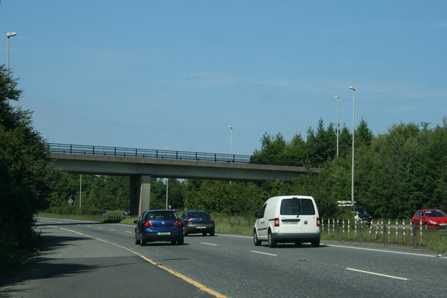
| current | 00:03, 15 November 2016 | | 640 × 427 (50 KB) | C2r (talk | contribs) | '''Fassaroe Bridge, County Wicklow''' Over the M11 in Bray. |
File usage
The following 3 pages use this file: