File:Featherstall Road South (A6048) (C) michael ely - Geograph - 2312601.jpg
Jump to navigation
Jump to search

No higher resolution available.
Featherstall_Road_South_(A6048)_(C)_michael_ely_-_Geograph_-_2312601.jpg (640 × 465 pixels, file size: 102 KB, MIME type: image/jpeg)
| |||||||||||||||||||||||||
|
Galleries | A6048 | Petrol station | ||
File history
Click on a date/time to view the file as it appeared at that time.
| Date/Time | Thumbnail | Dimensions | User | Comment | |
|---|---|---|---|---|---|
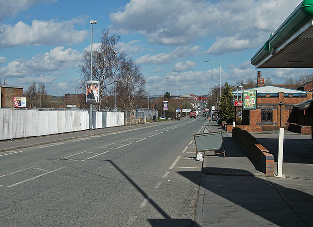
| current | 21:56, 4 November 2013 | | 640 × 465 (102 KB) | Vlad (talk | contribs) | '''Featherstall Road South (A6048) (C) michael ely '''<br/>Looking towards Royton from outside the BP petrol filling station. |
File usage
The following 2 pages use this file:
_(C)_michael_ely_-_Geograph_-_2312601.jpg&oldid=413534)