 | |  |
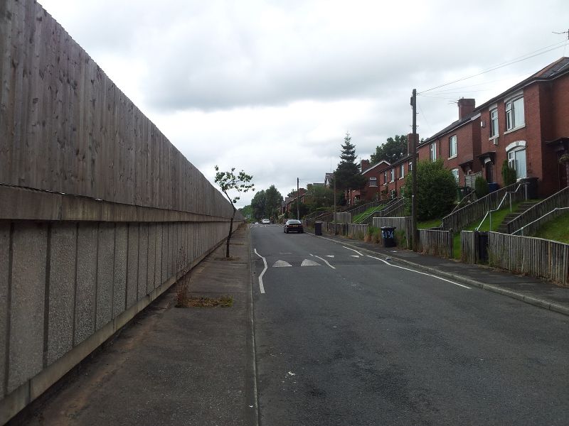
| | Description: | Looking north along the Ferngrove Estate in Bury. The M66 dominates the area. | | Location: | 53.6020682, -2.2733116 | | Road: | M66 | | Date: | 02 08 2012 | | Photographer: | Bryn Buck | | Source: | Own Work |
|
|
| |
 | |  |
File history
Click on a date/time to view the file as it appeared at that time.
| Date/Time | Thumbnail | Dimensions | User | Comment |
|---|
| current | 21:49, 2 August 2012 | 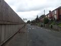 | 1,632 × 1,224 (652 KB) | Bryn666 (talk | contribs) | Looking north along the Ferngrove Estate in Bury. The M66 dominates the area. |
File usage
The following 2 pages use this file:
This file contains additional information, probably added from the digital camera or scanner used to create or digitise it.
If the file has been modified from its original state, some details may not fully reflect the modified file.
