File:Ferry Toll and Castlandhill Road (C) M J Richardson - Geograph - 2928683.jpg
Jump to navigation
Jump to search

No higher resolution available.
Ferry_Toll_and_Castlandhill_Road_(C)_M_J_Richardson_-_Geograph_-_2928683.jpg (640 × 480 pixels, file size: 68 KB, MIME type: image/jpeg)
| |||||||||||||||||||||||||
|
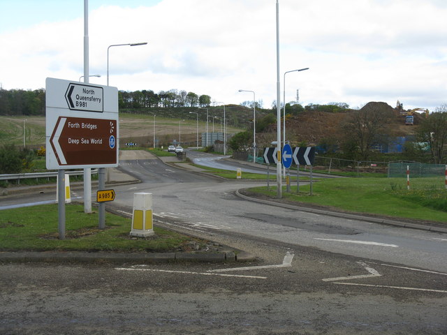
Galleries | B981 | Forth Replacement Crossing | Roadworks | Ferrytoll Junction | Flag Sign | ||
File history
Click on a date/time to view the file as it appeared at that time.
| Date/Time | Thumbnail | Dimensions | User | Comment | |
|---|---|---|---|---|---|
| current | 10:59, 9 May 2014 | | 640 × 480 (68 KB) | Si404 (talk | contribs) | '''Ferry Toll and Castlandhill Road (C) M J Richardson '''<br/>The earthworks to the right are part of the preparation for the Forth Replacement Crossing. |
File usage
The following 2 pages use this file:
_M_J_Richardson_-_Geograph_-_2928683.jpg&oldid=373221)