File:Ferry terminal, Ros an Mhil - Geograph - 1262463.jpg
Jump to navigation
Jump to search

No higher resolution available.
Ferry_terminal,_Ros_an_Mhil_-_Geograph_-_1262463.jpg (640 × 481 pixels, file size: 91 KB, MIME type: image/jpeg)
| |||||||||||||||||||||||||
|
Galleries | R372 | Wild Atlantic Way | ||
File history
Click on a date/time to view the file as it appeared at that time.
| Date/Time | Thumbnail | Dimensions | User | Comment | |
|---|---|---|---|---|---|
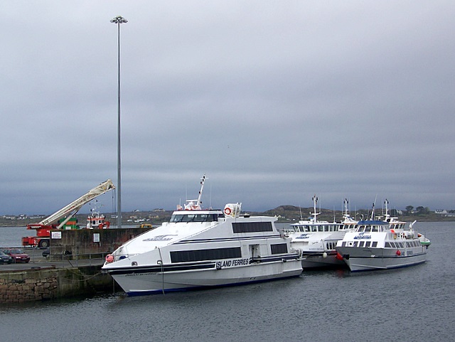
| current | 21:20, 2 November 2013 | | 640 × 481 (91 KB) | Viator (talk | contribs) | This quay at Ros an Mh�l, reached via the R372, serves as the terminal for the boat services to the Aran Islands |
File usage
The following 2 pages use this file: