File:Finedon Road Irthlingborough - Geograph - 191358.jpg
Jump to navigation
Jump to search

No higher resolution available.
Finedon_Road_Irthlingborough_-_Geograph_-_191358.jpg (640 × 480 pixels, file size: 70 KB, MIME type: image/jpeg)
| |||||||||||||||||||||||||
File history
Click on a date/time to view the file as it appeared at that time.
| Date/Time | Thumbnail | Dimensions | User | Comment | |
|---|---|---|---|---|---|
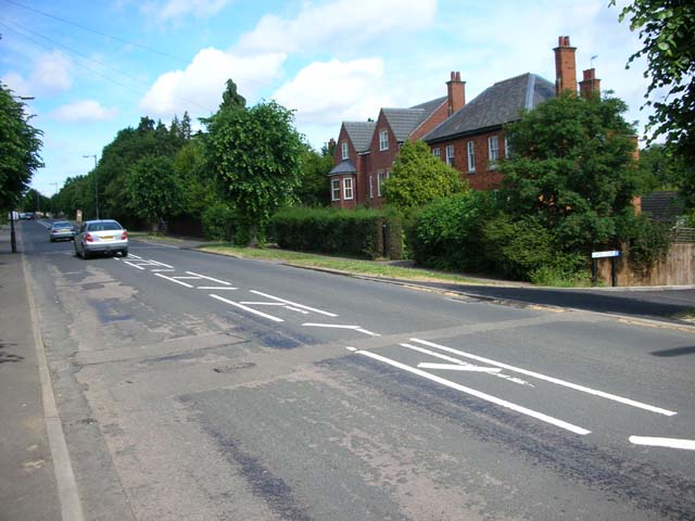
| current | 14:58, 26 March 2010 | | 640 × 480 (70 KB) | Bob@romiley1 (talk | contribs) | '''Finedon Road Irthlingborough'''<br/>This is the B5348. It used to be the main A6 London road until it was bypassed in the 1930's, largely to provide unemployment relief. |
File usage
The following 3 pages use this file: