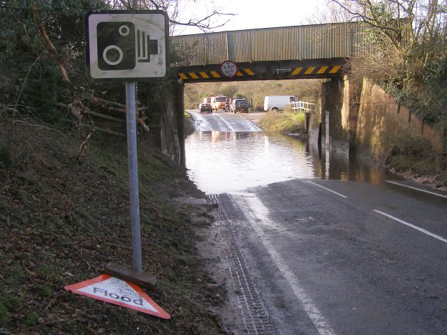
File:Flooded B3055 beneath the railway bridge, Lymington Junction, New Forest - Geograph - 302637.jpg
Jump to navigation
Jump to search

No higher resolution available.
Flooded_B3055_beneath_the_railway_bridge,_Lymington_Junction,_New_Forest_-_Geograph_-_302637.jpg (640 × 480 pixels, file size: 94 KB, MIME type: image/jpeg)
| |||||||||||||||||||||||||
|
Galleries | B3055 | Warning Sign/Flood | S2 | ||
File history
Click on a date/time to view the file as it appeared at that time.
| Date/Time | Thumbnail | Dimensions | User | Comment | |
|---|---|---|---|---|---|
| current | 14:59, 23 February 2010 | | 640 × 480 (94 KB) | Bob@romiley1 (talk | contribs) | {{Information |description = Flooded B3055 beneath the railway bridge, Lymington Junction, New Forest |day = 01 |month = 01 |year = 2007 |photographer = © Copyright [http://www.geograph.org.uk/profile/1086 Jim Champion] and licen |
File usage
There are no pages that use this file.