File:Flooded Road Sutton Gault - Geograph - 355332.jpg
Jump to navigation
Jump to search

No higher resolution available.
Flooded_Road_Sutton_Gault_-_Geograph_-_355332.jpg (640 × 479 pixels, file size: 133 KB, MIME type: image/jpeg)
| |||||||||||||||||||||||||
|
Galleries | C124 (Cambridgeshire) | Cambridgeshire | Ford | ||
File history
Click on a date/time to view the file as it appeared at that time.
| Date/Time | Thumbnail | Dimensions | User | Comment | |
|---|---|---|---|---|---|
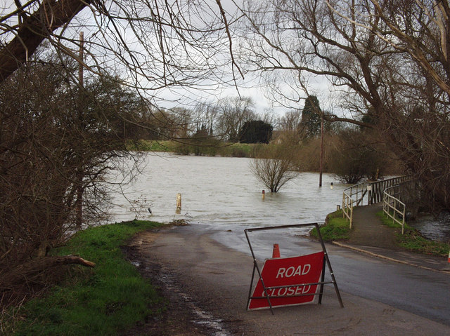
| current | 12:44, 12 March 2018 | | 640 × 479 (133 KB) | C2r (talk | contribs) | '''Flooded Road Sutton Gault''' The Pathway on the right is the only access to the other side if the road. It is a raised, wooden pathway. |
File usage
The following 2 pages use this file: