File:Floodwaters crossing Ramper Road - Geograph - 4134506.jpg
Jump to navigation
Jump to search

No higher resolution available.
Floodwaters_crossing_Ramper_Road_-_Geograph_-_4134506.jpg (640 × 480 pixels, file size: 89 KB, MIME type: image/jpeg)
| |||||||||||||||||||||||||
|
Galleries | C188 (Cambridgeshire) | Cambridgeshire | ||
File history
Click on a date/time to view the file as it appeared at that time.
| Date/Time | Thumbnail | Dimensions | User | Comment | |
|---|---|---|---|---|---|
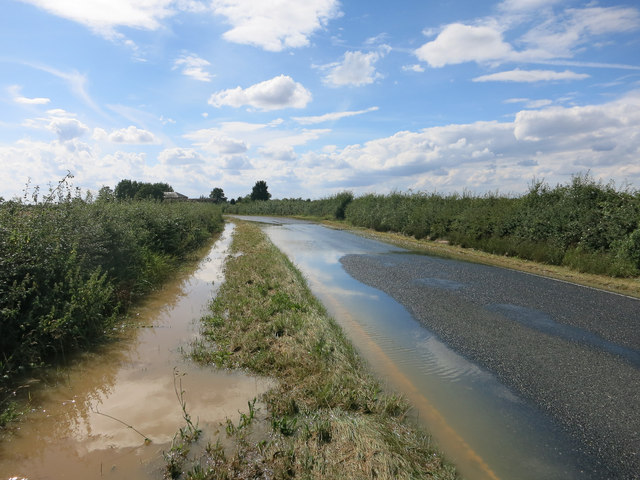
| current | 13:54, 5 December 2017 | | 640 × 480 (89 KB) | C2r (talk | contribs) | '''Floodwaters crossing Ramper Road''' The water was still flowing across the road about twelve hours after the rain ended. About two inches fell in the afternoon and overnight. |
File usage
The following 2 pages use this file: