File:Flowerbed, Station Road - Geograph - 3688673.jpg
Jump to navigation
Jump to search

No higher resolution available.
Flowerbed,_Station_Road_-_Geograph_-_3688673.jpg (640 × 480 pixels, file size: 284 KB, MIME type: image/jpeg)
| |||||||||||||||||||||||||
|
Galleries | B6471 | East Lothian Saltire Trail | Haddington | ||
File history
Click on a date/time to view the file as it appeared at that time.
| Date/Time | Thumbnail | Dimensions | User | Comment | |
|---|---|---|---|---|---|
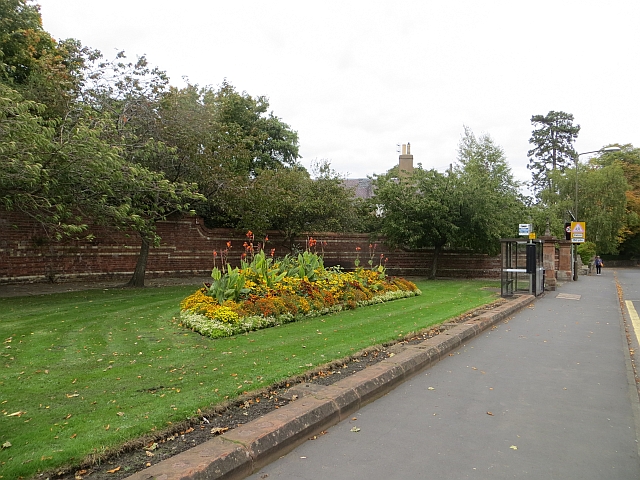
| current | 20:02, 13 October 2016 | | 640 × 480 (284 KB) | Vlad (talk | contribs) | '''Flowerbed, Station Road''' Beside the old A1 through Haddington. |
File usage
The following 3 pages use this file: