File:Footbridge crossing Bristol's ringroad (C) Ruth Riddle - Geograph - 2933676.jpg
Jump to navigation
Jump to search

No higher resolution available.
Footbridge_crossing_Bristol's_ringroad_(C)_Ruth_Riddle_-_Geograph_-_2933676.jpg (640 × 502 pixels, file size: 45 KB, MIME type: image/jpeg)
| |||||||||||||||||||||||||
|
Galleries | A4174 | ||
File history
Click on a date/time to view the file as it appeared at that time.
| Date/Time | Thumbnail | Dimensions | User | Comment | |
|---|---|---|---|---|---|
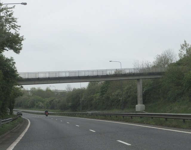
| current | 14:21, 13 September 2014 | | 640 × 502 (45 KB) | Vlad (talk | contribs) | '''Footbridge crossing Bristol's ringroad (C) Ruth Riddle '''<br/>This footbridge allows residents of the housing estate to the south-east of the ringroad to access the open land on the other side, to the south of Cock Road. |
File usage
The following page uses this file:
_Ruth_Riddle_-_Geograph_-_2933676.jpg&oldid=385688)