File:Forfar Road (C) Freethinker - Geograph - 1195535.jpg
Jump to navigation
Jump to search

No higher resolution available.
Forfar_Road_(C)_Freethinker_-_Geograph_-_1195535.jpg (640 × 430 pixels, file size: 59 KB, MIME type: image/jpeg)
| |||||||||||||||||||||||||
File history
Click on a date/time to view the file as it appeared at that time.
| Date/Time | Thumbnail | Dimensions | User | Comment | |
|---|---|---|---|---|---|
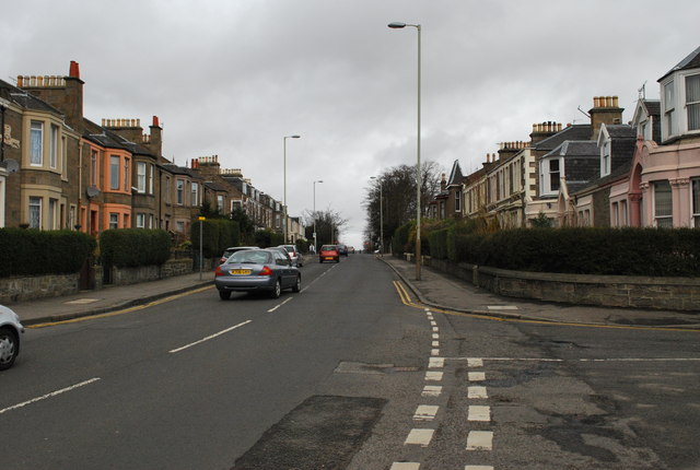
| current | 20:04, 24 April 2014 | | 640 × 430 (59 KB) | Vlad (talk | contribs) | '''Forfar Road (C) Freethinker '''<br/>As it passes through Maryfield, at the junction with Madeira Street |
File usage
The following page uses this file:
_Freethinker_-_Geograph_-_1195535.jpg&oldid=371920)