File:Forfar Road - Geograph - 1200815.jpg
Jump to navigation
Jump to search

No higher resolution available.
Forfar_Road_-_Geograph_-_1200815.jpg (640 × 427 pixels, file size: 73 KB, MIME type: image/jpeg)
| |||||||||||||||||||||||||
|
Galleries | B966 | Flag Sign | Regulatory Sign | S2 | ||
File history
Click on a date/time to view the file as it appeared at that time.
| Date/Time | Thumbnail | Dimensions | User | Comment | |
|---|---|---|---|---|---|
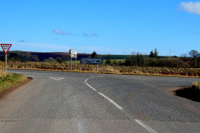
| current | 19:02, 16 January 2010 | | 640 × 427 (73 KB) | Bob@romiley1 (talk | contribs) | {{Information |description = Fettercairn Road (B966) at its junction with the Aberdeen / Forfar Road |day = 06 |month = 03 |year = 2009 |photographer = © Copyright [http://www.geograph.org.uk/profile/20800 Alan Morrison] and lice |
File usage
There are no pages that use this file.