File:Former Renfrew ferry - Geograph - 4144560.jpg
Jump to navigation
Jump to search

No higher resolution available.
Former_Renfrew_ferry_-_Geograph_-_4144560.jpg (640 × 480 pixels, file size: 162 KB, MIME type: image/jpeg)
| |||||||||||||||||||||||||
|
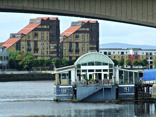
Galleries | Renfrew-Yoker Ferry | Glasgow | ||
File history
Click on a date/time to view the file as it appeared at that time.
| Date/Time | Thumbnail | Dimensions | User | Comment | |
|---|---|---|---|---|---|
| current | 21:13, 1 April 2021 | | 640 × 480 (162 KB) | Tam nugent (talk | contribs) | Now a bar and restaurant, moored at the Broomielaw in the centre of Glasgow in the shadow of the Kingston Bridge. |
File usage
There are no pages that use this file.