File:Former St. Thomas' school - Geograph - 2261279.jpg
Jump to navigation
Jump to search

No higher resolution available.
Former_St._Thomas'_school_-_Geograph_-_2261279.jpg (640 × 428 pixels, file size: 76 KB, MIME type: image/jpeg)
| |||||||||||||||||||||||||
|
Galleries | B5371 | ||
File history
Click on a date/time to view the file as it appeared at that time.
| Date/Time | Thumbnail | Dimensions | User | Comment | |
|---|---|---|---|---|---|
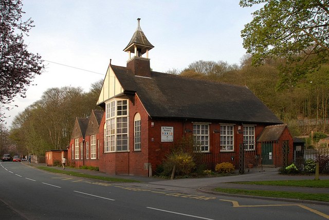
| current | 19:52, 12 July 2016 | | 640 × 428 (76 KB) | Vlad (talk | contribs) | '''Former St. Thomas' school''' St. Thomas' school is now a nursery. |
File usage
The following 2 pages use this file: